

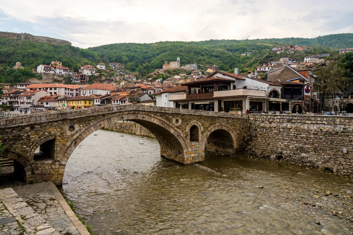
Getting around Prizren means combining walks between central landmarks with local transport. The Stone Bridge links Shadërvan Square and the old Saraçhane road, and municipal tourist maps can help you orient yourself.
- The Municipality of Prizren’s tourist map is free in Albanian, English, Turkish and Bosnian.
- The Stone Bridge directly connects Shadërvan Square with the old Saraçhane road.
- The uphill walk to Prizren Fortress takes 10–15 minutes from Shadërvan Square or Marash.
How Prizren is laid out
Prizren’s historic centre is arranged around landmarks and routes that meet at the Stone Bridge. The city tourism site says the bridge is thought to date to the 16th century; it has three arches and is 17 metres long today, compared with approximately 30 metres originally.
The Municipality of Prizren’s free tourist map includes an illustrated map of the historic centre as well as a map of the municipality. The city tourism site dates the construction of Sinan Pasha Mosque to 1615.
For a fuller sequence of central sights, use this one-day itinerary for Prizren’s historic centre to plan your route.
Walking between central sights
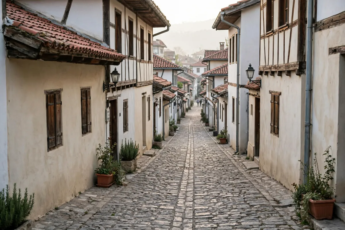
From Shadërvan Square or Marash, marked paths climb to the fortress in 10–15 minutes.
At the fortress, stay on marked paths. The route includes uneven terrain, stone steps, steep paths and natural surfaces; stones can be slippery in rain and snow. The site has limited full wheelchair accessibility, though selected viewing areas can be reached with assistance.
The Fortress of Prizren visitor guide covers its routes and access in more detail.
Taxis and local transport
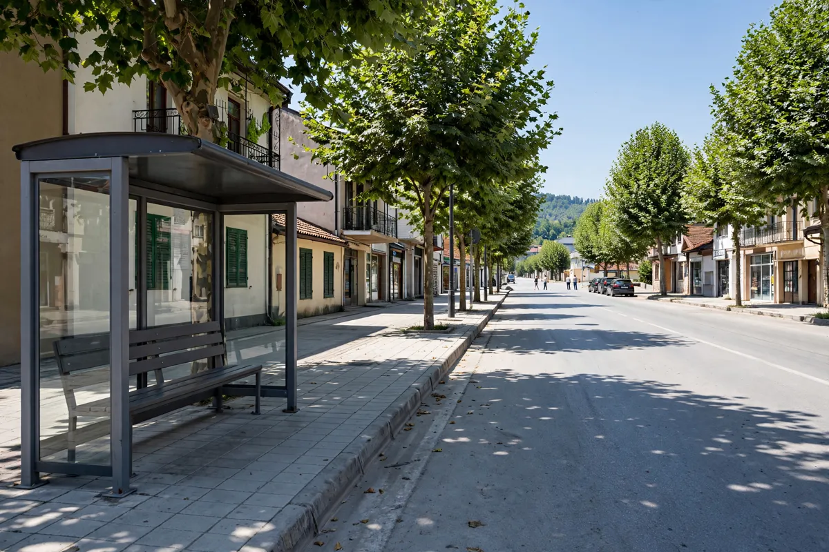
An urban-transport mapping project produced maps of bus lines, timetables and stop locations, but its project article does not give the timetable details.
For arrival by air, the route from Pristina Airport to Prizren is covered separately.
Getting from Hotel OK to the centre
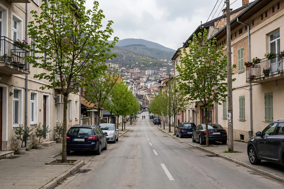
Hotel OK, which offers four-star rooms, is about 71 minutes on foot or 15 minutes by car from Prizren city centre.
Accessibility and practical checks
Fortress access involves uneven and steep surfaces, and full wheelchair access is limited. If you need assistance, selected viewing areas can be accessed with help; take care on the marked paths when rain or snow may leave stones slippery.
The Municipality of Prizren’s tourist map is free and gives you both a historic-centre illustration and a municipality map. Check the official site before you go for current transport details.
FAQs
How long does it take to walk to Prizren Fortress from the centre?
The uphill walk takes 10–15 minutes from Shadërvan Square or the Marash neighbourhood, using marked paths.
Are there maps of Prizren’s bus routes?
An urban-transport mapping project produced maps of transit-bus lines, timetables and stops. Check the official site before you go for current timetable details.
Is Prizren Fortress wheelchair accessible?
Full wheelchair accessibility is limited because the site has uneven terrain, stone steps, steep paths and natural surfaces. Selected viewing areas can be accessed with assistance.